
User Details
- User Since
- Jan 13 2016, 4:33 AM (432 w, 1 d)
- Availability
- Available
Jan 23 2017
Changed the QHash but the error still persists.
Jan 22 2017
Clipper was not able to merge some of the adjacent buildings (buildings which only share one common point), to circumvent this problem, I made a few changes in the way in which the edges of the building graph were contracted. Instead of treating the connected components of buildings as connected graphs, I am now treating them as trees, so as to prevent any kind of cyclic dependency b/w buildings. Doing this allows me to easily break a connected component into two or more connected components whenever clipper is not able to merge two adjacent buildings.
This trick is able to greatly improve the results but still there are a few error cases, which I am not able to figure out.
Dec 19 2016
Aug 20 2016
Aug 14 2016
Buffered positively (by a factor of 4.4)
(In the program buffering is not done for all the polygons at once.
In the program we iterate over the polygons of a cluster, 2 neighboring polygons are buffered positively, united and then buffered negatively. The below pic is only for representation of buffering)

This patch contains fixes for 2 of the 3 major problems,
-It fixes the appearance of star shaped aberrations in the output osm file.
-It fixes the bug which caused loss in detail of merged buildings
Aug 9 2016
Jul 24 2016
Fix
This diff keeps the ID's as negative so as to prevent collision with OSM IDs while keeping the order within each block as non decreasing.
Jul 23 2016
Jul 22 2016
Jul 21 2016
Fixes
Elevation info is now stored in placemark's osmdata instead of outer ring's osm data.
This diff uses a single Bathymetry GeoDataFeature and renders different types of bathymetries(currently 200m and 4000m) using the elevation info.
Jul 19 2016
Reopened since additional improvements are required
Bathymetries 200 and 4000
For the above diff (Diff 5340), I introduced 2 GeoDataFeatures - Bathymetry200 and Bathymetry4000 instead of a single feature. It is because level 4000 bathymetry must always be rendered above the level 200 one.
@nienhueser Is there any way of doing this via a single GeoDataFeature type and StyleBuilder class ?
Add support for bathymetry levels 200 and 4000 as suggested by @rahn
I eventually made the min zoom level for bathymetries to be 1 instead of 7, since the globe appeared better that way.
Fixed memory issues and leakages.
Jul 17 2016
Changed the code style based on above recommendations.
Jul 16 2016
- Before concatenation(original OSM file)
- Size: 4.7Mb
- Placemark count: 3485

Compared to last time, results were quite according to expectations. All the streets, which were previously rendered as broken now appear continuous. Also there were good savings in terms of file size.( I have presented a few memory related statistics in the next comment)
Jul 13 2016
Fixes Done
- Moved all the variable definitions to where they are used.
- Removed equality check before changing the geometry of a placemark.
Jul 12 2016
I corrected the WayConcatenator (of diff 5054) so that it does not skip any OSM ways while writing the output. I had forgot to update the hash-table in one of the conditions which caused the above bug.
I tried the corrected code on a small highway stretch. However the output was wrong and still some of the ways were missing.
Jul 10 2016
Usage
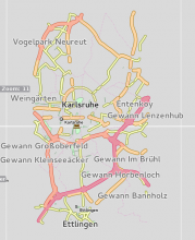
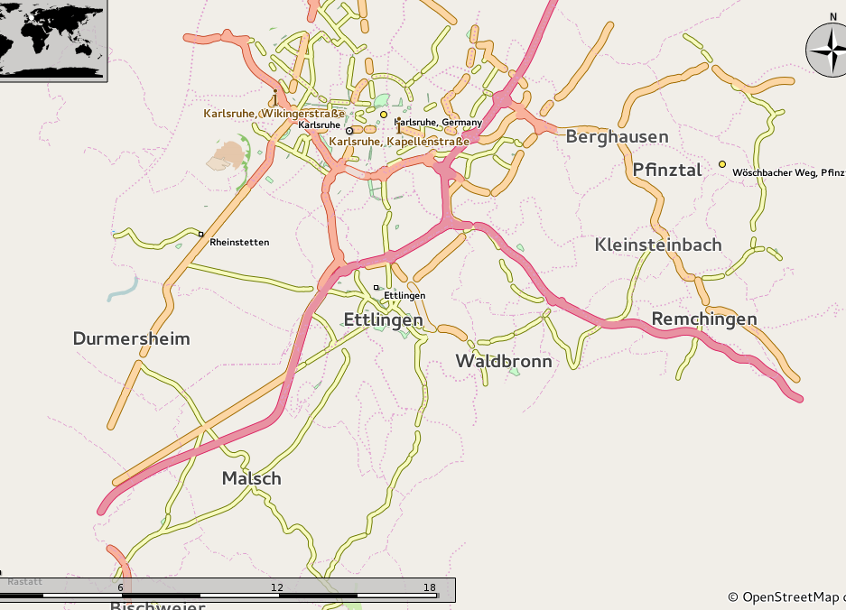
./osm-simplify -t highway=primary,highway=motorway,highway=trunk,highway=secondary,highway=tertiary,highway=residential -w karl.osm
or
./osm-simplify -t highway=* -w karl.osm
Jul 5 2016
Fixes done
Modified the code so that a new LineString, consisting of reduced coordinates, gets constructed and assigned to the placemark.
Jul 4 2016
@rahn @nienhueser This patch is dependent on @dkolozsvari 's https://phabricator.kde.org/D2007 patch and hence can only be pushed to the main branch once the work on the latter patch is complete.
Fixes done in this diff
- Fix for always including the starting and ending points.
- Added more geometries like polygons and linear-rings.
- The output now displays the total number of nodes reduced for a given OSM file and zoomLevel.
Jul 3 2016
Jun 26 2016
This diff fixes the erratic boundary issue

Jun 25 2016
Added the natural=glacier tag.
Since OSM currently does not have any disputed tag for marine boundaries I added a custom tag for that.
Edited the styling and changed the name to InternationalDateLine from GeographicLine.
Corrected the diff to handle the conflicting case.
Jun 24 2016
I had made some functions which called these functions but even then the error persisted.
Also, I had not run make install which might be the cause of the error.