Rendering
Fix for the following issue
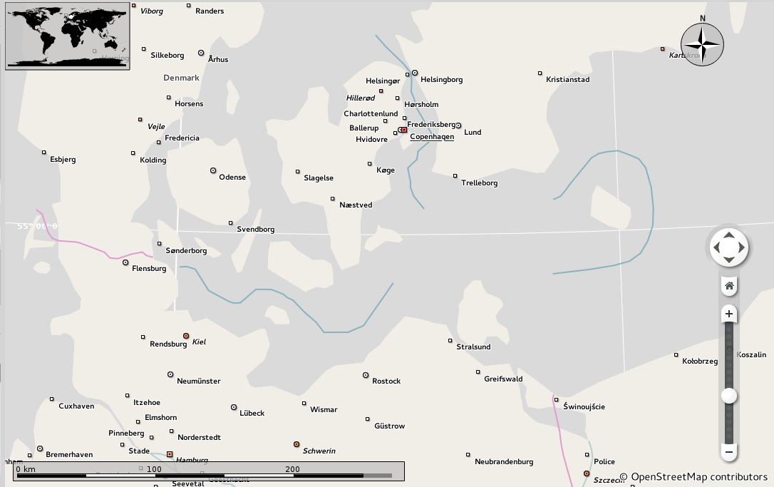
- Rendering issue: Maritime boundaries
Difficulty: EASY
Check e.g. the boundaries on the baltic sea between the islands of Germany and Denmark. They don't get rendered yet. They should be using #88b3bf
| nienhueser | |
| rahn |
Rendering
Fix for the following issue
Difficulty: EASY
Check e.g. the boundaries on the baltic sea between the islands of Germany and Denmark. They don't get rendered yet. They should be using #88b3bf
| Automatic diff as part of commit; lint not applicable. |
| Automatic diff as part of commit; unit tests not applicable. |
| tools/shp2osm/polyshp2osm.py | ||
|---|---|---|
| 266 | Can we have a separate tag indicator for disputed boundaries, and its own styling in Marble? Similar to other disputed boundaries/areas (see e.g. Jammu and Kashmir in the Atlas map theme in Marble and its legend) | |
Since OSM currently does not have any disputed tag for marine boundaries I added a custom tag for that.